Hot, Humid, And Stormy Start To Summer For Chicago Area
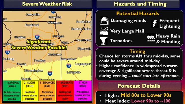
CHICAGO (CBS) -- The first full day of summer will be a steamy and stormy one for the Chicago area, with temperatures nearing 90 degrees, and an increasing risk of severe thunderstorms from midday through the evening.
High temperatures in the Chicago area will range from the mid to upper 80s, and heat index values will reach 95 to 100 degrees, but it will be cooler by the lake.
The National Weather Service has issued a Tornado Watch for De Kalb, Kane, Kendall, Grundy and La Salle Counties until 11 p.m.
Meantime, a nasty line of storms moved into the Chicago area late Monday morning, bringing lots of lightning and strong winds, and prompting a number of watches and warnings across northern Illinois.
The storm system was packing winds of up to 80 mph as it moved through Iowa, though those winds were not quite as severe as they moved into the far northwestern and western suburbs, measuring about 60 mph.
There were many reports of damaging winds and hail in Iowa and southern Minnesota as the storms swept through.
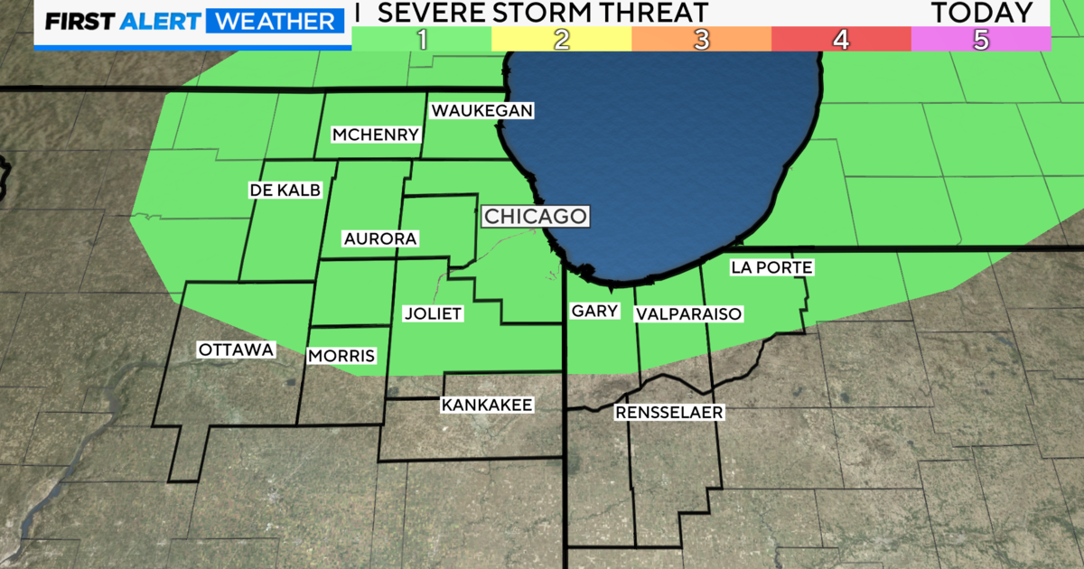
The National Weather Service originally issued a severe thunderstorm watch for the entire Chicago area until 3 p.m., but around 12:20 p.m. the watch was canceled for most of the Chicago area. I
A second line of storms was expected to move into the Chicago area late Monday afternoon, or early Monday evening, starting along the Wisconsin state line, and moving south and east.
According to the National Weather Service, the greatest chance of severe thunderstorms will be between 5 p.m. and 9 p.m., mainly north of I-80. Chances of severe storms will decrease after 9 p.m., with scattered storms mainly south of I-80.
At O'Hare, more than 450 flights have been cancelled and at Midway more than 60 have been cancelled.