Flood Threats Continue For Chicago Area Rivers After Storms End
CHICAGO (CBS) -- Flood warnings and advisories remained in effect for many Chicago area rivers Wednesday morning, as water continued to rise in the wake of heavy rains and melting snow across the region.
The Chicago River, Des Plaines River, Thorn Creek, and Little Calumet River were among waterways near or above flood stage on Wednesday, after 1 to 4 inches of rain fell across the Chicago area from Sunday evening through Wednesday morning.
Chicago got a record 2.1 inches of rain on Tuesday, nearly doubling the old Feb. 20 record of 1.16 inches set in 2014, according to the National Weather Service.
https://twitter.com/NWSChicago
While the North Branch of the Chicago River was not expected to rise beyond flood stage, the National Weather Service was continuing a flood advisory for the river through Wednesday evening. The river was expected to gradually drop through the day.
In southwest suburban Lemont, the Des Plaines River measured at 11.5 feet and rising at 7 a.m., or a foot and a half above flood stage, and was expected to crest at 12.5 feet on Thursday.
In nearby Bolingbrook, the East Branch of the DuPage River was at 21.6 feet as of 7 a.m., or 2 feet above flood stage, and expected to crest at 21.9 feet later in the day.
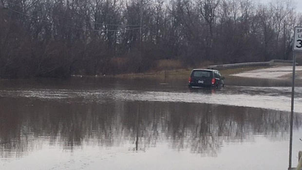
Meantime, Hickory Creek in southwest suburban New Lenox also flooded overnight, leaving entire streets underwater, and flooding many homes.
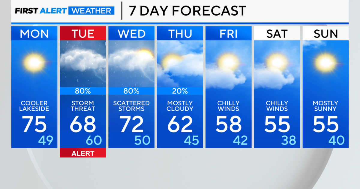
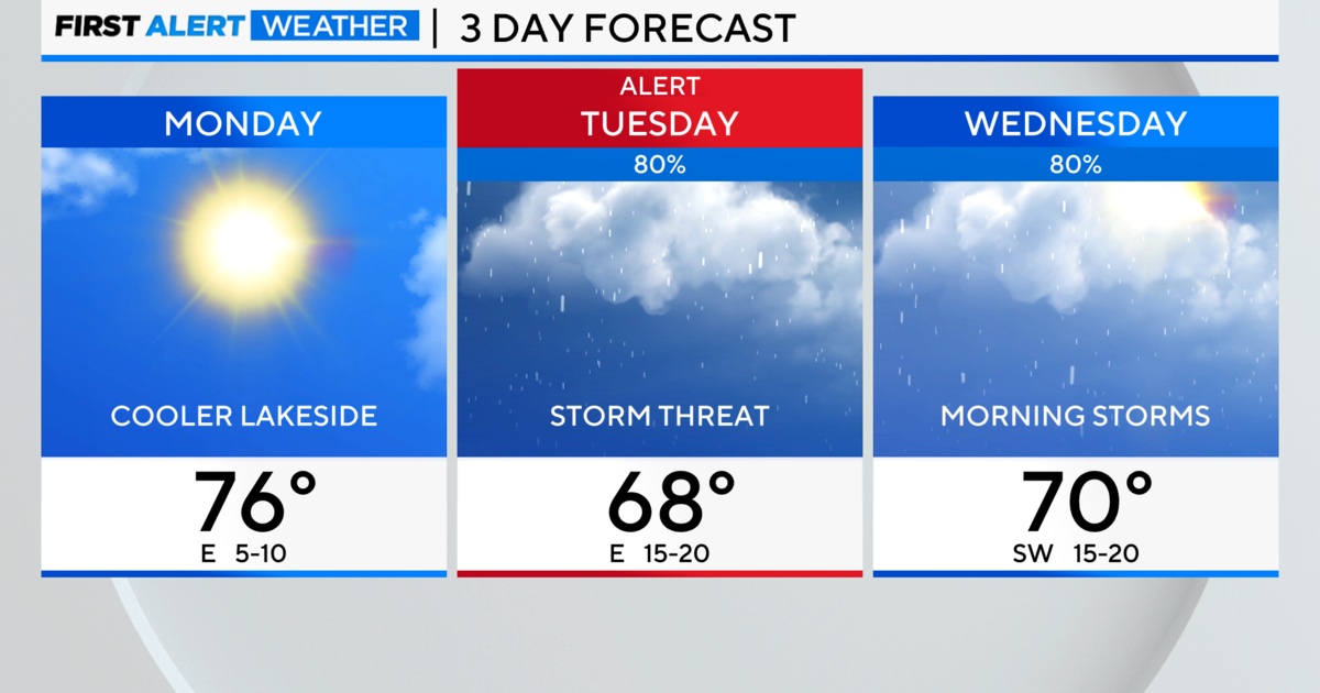
The Chicago area should get a few days to dry out, with no significant rain in the forecast until Saturday, when more thunderstorms are expected.
Many streets in south suburban South Holland also were flooded from the swollen Little Calumet River and Thorn Creek.
According to the National Weather Service, the Little Calumet River was at 19.15 feet in South Holland as of 7 a.m. Wednesday, or more than 2.5 feet above flood stage. The river was expected to crest at 19.4 feet on Wednesday.
The Little Calumet hasn't been that high in South Holland since September 2008, when it reached 20.16 feet. The record level for the river in South Holland is 20.5 feet, set in November 1990.
Thorn Creek, meantime, was at 14.85 feet at the nearest measuring point in neighboring Thornton as of 6:30 a.m. It was expected to crest at 15 feet later Wednesday. Thorn Creek also hasn't been that high since September 2008, when it reached 15.89 feet. The record for Thorn Creek in Thornton is 17.06 feet, set in June 1981.
The Little Calumet River was also causing flooding concerns in northwest Indiana, where it measured at 16.31 feet in Munster as of 7 a.m., more than 4 feet above flood stage. It was expected to crest at 16.35 feet later Wednesday. The river hasn't been that high in northwest Indiana since September 2008, when it reached a record 17.29 feet.