Polar Vortex Flashback? Chicago Braces For Sharp Arctic Slap In The Face
CHICAGO (CBS)--Light up the fireplace, layer on multiple blankets --or wear multiple coats if you must go outside--and heat up that hot chocolate--because it's about to get real, real cold, Chicago.
Chicago endured the coldest day of the winter season Friday, but the worst is still ahead of us.
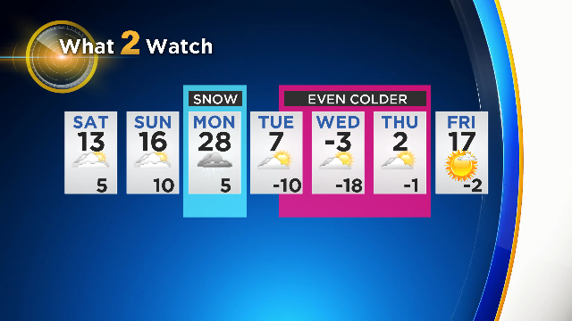
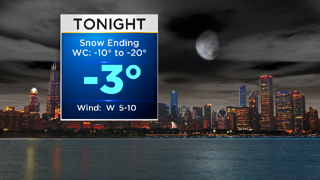
After a cold, quiet weekend with highs around 14° Saturday and Sunday, the beginning of the new work week will bring snow and trigger the start of a week of arctic temperatures dipping as low as -18° on Wednesday, when the high is expected to reach only -3°.
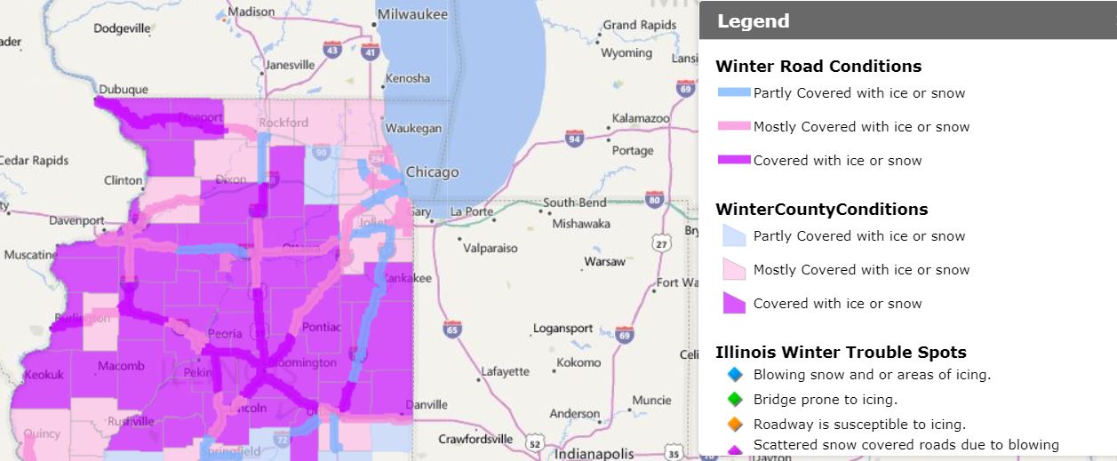
Following last week's snow storm, more heavy snow is expected to begin late Sunday night and continue through the Monday morning commute.
The timing and track of the storm is still uncertain, according to CBS 2 meteorologist Robb Ellis. The weather system could drop up to 8 inches on some areas.
When and where the snow bears down on the Chicago area will have major impacts on the severity of the storm.
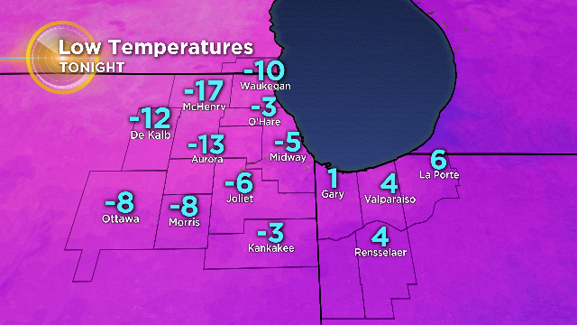
After the snow ends, air temperatures are expected to fall even lower, with overnight lows between Tuesday and Thursday dipping to -20°.
The coldest day is expected to be Wednesday into Thursday morning. The frigid air will be reminiscent of the 2013 polar vortex that paralyzed the city.
Combined with the frigid temperatures, high winds gusting up to 30 MPH could bring wind chill values to -40° or lower.
Stay warm, Chicago!