Chicago Weather: Flood Watch, Weekend Winter Storm Ahead
CHICAGO (CBS)-- A weekend winter storm is on the way, bringing heavy rain, ice, wind and snow. An winter storm will impact Chicago areas through early Sunday morning.
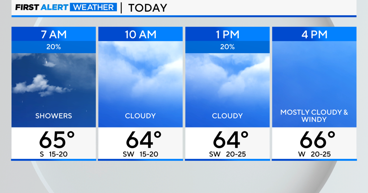
Friday morning, scattered showers are expected to continue with windy conditions.
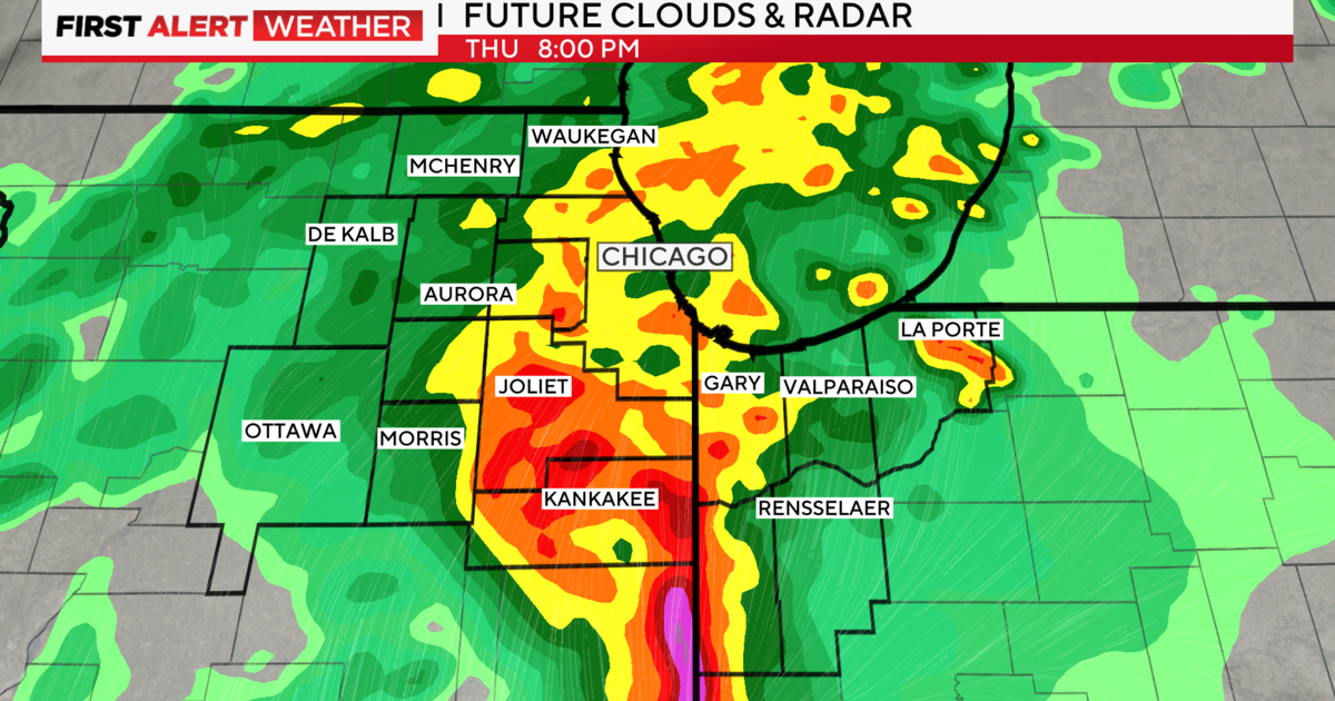
Chicago areas will be under a flood watch by 10 p.m. Friday when heavy rain is expected to begin. Areas under the flood watch could get 2 to 4 inches of rain.
The winter storm is expected to begin by 9 p.m. Friday and go through 3 a.m.
In northern areas outside of the flood watch, a wintry mix is likely.
Ice accumulation is also possible overnight Friday into Saturday morning with freezing rain and sleet. commuters should allow extra time and caution for slick roads.
Saturday winds could bring 12 to 16 inch waves as lake shore flooding becomes a threat.
A Winter Storm Watch in effect for Cook County starting around 6 a.m. Saturday and will be in effect until Sunday at 3 a.m.
A Winter Storm Warning is in effect for Boone, De Kalb, Lee McHenry, Ogle, Winnebago counties beginning Sunday at 3 a.m.
Some areas could see 6 inches of snow fall.
There is expected to be a break in the storm by 5 a.m. Saturday until around 3 p.m.