Chicago Weather: Heavy Lake-Effect Snow Combines With Winter Storm System; 1 To 2 Inches Falling Per Hour
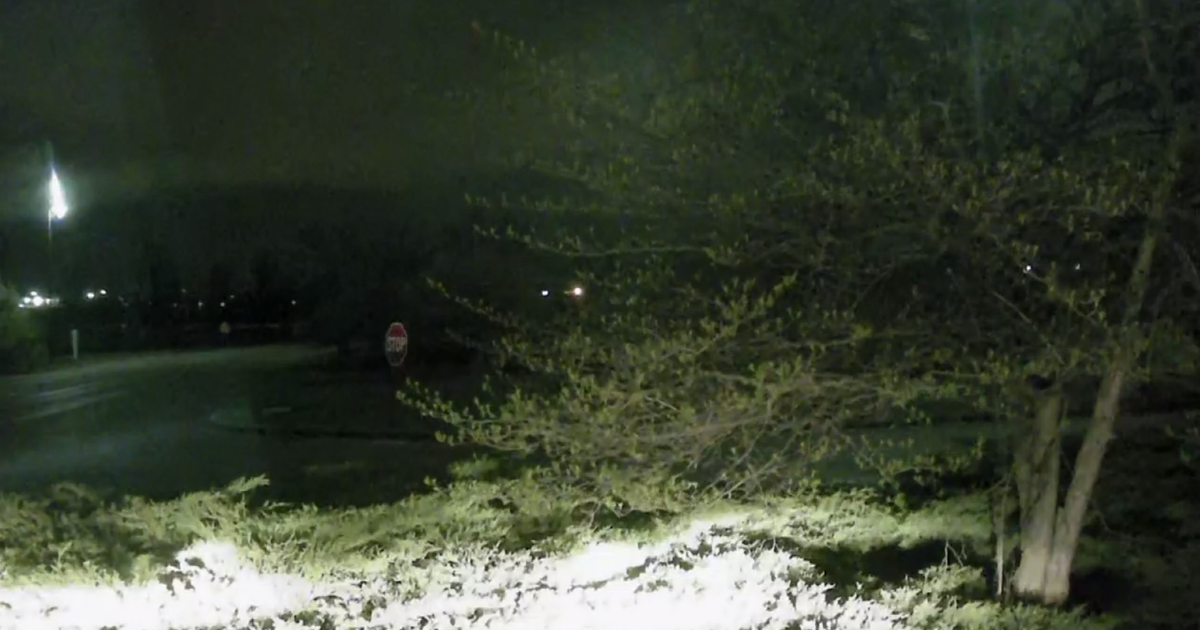
CHICAGO (CBS) -- Lake-effect snow that had been falling during the day and a major snowstorm that earlier wreaked havoc on the southern states combined Monday night for a monstrous snowstorm that had more than a foot of snow on the ground in parts of the Chicago area even before it reached peak intensity.
The peak intensity of the snowstorm with the heaviest accumulation was expected to be between about midnight and 2 a.m., CBS 2 Meteorologist Mary Kay Kleist reported.
Lake-enhanced snow bands continued to keep snow rates of 1 to 2 inches per hour. Strong northeast winds gusting 30-35 mph will continue to create blowing and drifting snow with near zero visibility at times.
Snow totals as of the 10 p.m. hour were:
•: Valparaiso: 13.3 inches;
•: Harwood Heights: 12.3 inches;
•: Evanston: 12 inches;
•: Midway International Airport: 11.9 inches;
•: Oak Park: 11 inches;
•: Oak Lawn: 8.5 inches;
•: Chicago Loop: 7.8 inches.
But these were far from final, as plenty of snowfall was left to go.
It appeared Monday night like the prime place for accumulation will be 2 to 3 miles on either side of a northeast-southwest line that stretched from Winnetka down through Evanston and then to Midway International Airport.
After the lake-effect snow tapers off by Tuesday afternoon, some locations along this corridor could reach the 15- to 20-inch mark for snow totals. While this is not a blizzard, the higher range of those totals is close to that of past major blizzards in Chicago.
LIVE UPDATES: Heavy Lake-Effect Snow Expected To Continue For Hours; Totals Could Exceed 12 Inches In Spots
A Winter Storm Warning continues until noon Tuesday for Cook and Lake counties in Illinois, and until 9 a.m. Tuesday for DuPage, Will, Kendall, Grundy, and Kankakee counties, and all of Northwest Indiana.
The snow from the storm system ends by daybreak. Lake-effect snow showers continue along the Illinois shoreline all morning, then swing to the Indiana shoreline into the afternoon. Snow rates will be much lower in intensity – more in the way of snow showers.
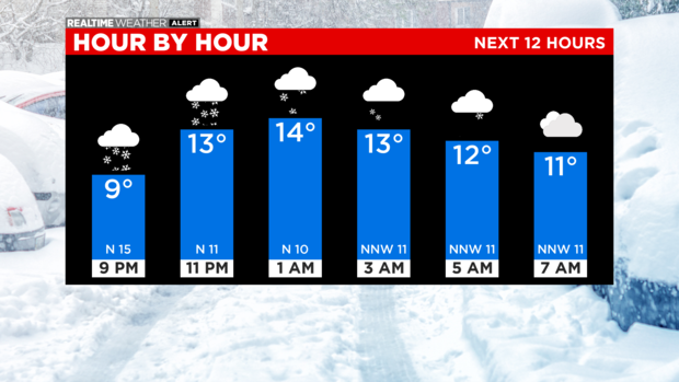
Brutal wind chills are expected in the morning, at 10 to 20 below zero.
The low for Monday night is 8. The high for Tuesday is 19, with lakeside snow showers, but partially sunny skies inland. On Wednesday, it will be mostly cloudy with a high of 21.