Chicago Weather: At Least 7 Confirmed Tornadoes During Monday's Severe Storms
CHICAGO (CBS/AP) — A preliminary total of seven tornadoes touched down in four northern Illinois counties on Monday, and that number could climb as the National Weather Service surveys damage from the severe storms that hit the area.
National Weather Service officials confirmed tornadoes caused damage in Ogle, DeKalb, Lee, and Kane counties, based on video, photos and reports from storm spotters and storm chasers, according to meteorologist Rafal Ogorek with the weather service's office in Romeoville.
A preliminary total of seven tornadoes touched down in those counties on Monday. The NWS said an EF-0 was reported north of Esmond, and EF-U south of Kirkland, and EF-1 in McHenry, and EF-0 south of Esmond, an EF-1 in Burlington, and EF-U in Paw Paw, and an EF-1 from Sycamore to Virgil. An EF-U, or unknown, is a tornado that cannot be rated due to a lack of evidence of damage.
Bbut Ogorek said it's likely additional tornadoes moved through northern Illinois on Monday afternoon and evening.
"There's some uncertainty as to whether certain tornadoes tracked over a longer distance or whether they touched down in one spot, lifted and then touched down in another spot," Ogorek said. "There were at least six tornadoes but that number will more than likely grow."
Video taken by freelance photographer Scott Lasker shows a tornado blasting debris through a rural area outside Sycamore. The Sycamore area saw some of the most well-defined tornadoes.
A spotter also reported a large tornado west-southwest of Burlington, Illinois, near Lukens and Plank roads. CBS 2 Meteorologist Robb Ellis reported a dangerous debris signature was spotted near Burlington.
A brief tornado was earlier reported near Kirkland, Illinois, and it lifted after about 30 seconds.
National Weather Service staff will survey storm damage to determine how strong each tornado was and how long each was on the ground, he said. Storm damage appears largely confined to trees and crops, with some damage to barns and other structures, including at least one residence which lost its roof.
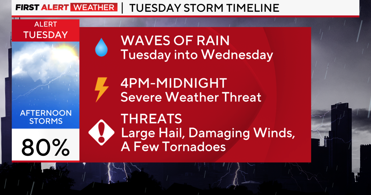
More storms are expected Tuesday evening, following a dangerously hot day.
A Heat Advisory has been issued from noon today until 7PM. Heat index readings will be above 105 degrees.
Thunderstorms will develop across Iowa and Wisconsin this afternoon, reaching the Chicago area after 6 p.m. The main concerns for this round will be damaging wind. Large hail and brief tornadoes are also possible.
(© Copyright 2021 CBS Broadcasting Inc. All Rights Reserved. The Associated Press contributed to this report.)