Morning Snow Won't Stay Long With Mild Weekend Ahead
CHICAGO (CBS) -- A mix of snow and rain made for a messy morning commute in the Chicago area Wednesday morning, but in many areas, the snow melted as soon as it hit the ground, and milder temperatures later this week means what little that did stick won't stay for long.
Light to moderate snowfall began early Wednesday morning, and was expected to continue through about noon. Even in the afternoon, more scattered snow showers were possible for some areas.
The National Weather Service said the heaviest snowfall was expected to end around 8:30 a.m. in Chicago, and around 10 or 11 a.m. in northwest Indiana.
Temperatures should top out in the mid 30s.
Accumulations of 1 to 1.5 inches were possible in some areas, with a chance of isolated accumulations of up to 2.5 inches, mainly north of the city, where temperatures were a bit colder Wednesday morning.
Skies should clear overnight, as temperatures drop to about 29 degrees, and then Thursday will bring dry and milder weather, with temperatures climbing into the low 40s.
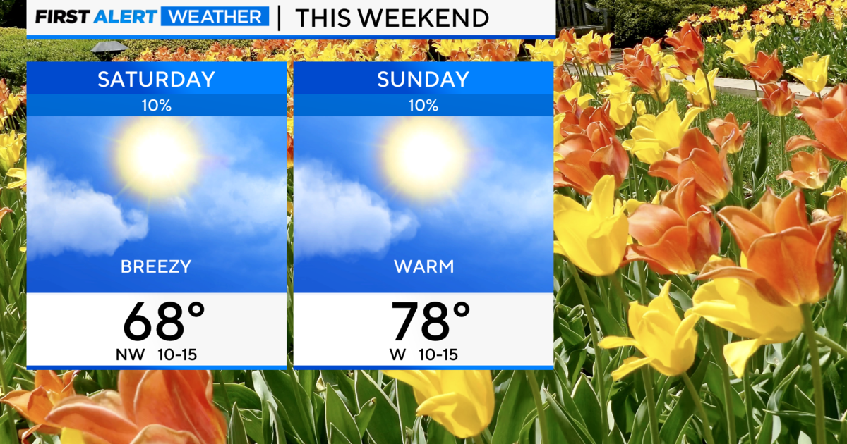
Temperatures will get up to the upper 40s on Friday, and into the 50s on Saturday and Sunday, and conditions should stay dry through the start of next week.