Storms Moving In; Hot, Humid Afternoon On Tap
CHICAGO (CBS) -- Some potentially strong thunderstorms were bearing down on the Chicago area Thursday morning, and could bring torrential rain, frequent lightning strikes, and winds of up to 50 mph.
Storms hit the far northern suburbs before dawn Thursday, but the largest storm cell was still west of DeKalb as of 6:30 a.m., heading east at about 45 mph, according to the National Weather Service.
CBS 2 Meteorologist Megan Glaros reports the heaviest of the storms likely will pass just north and just south of the city, which should dodge any severe storms, but will still get some storm activity before the skies clear late Thursday morning or early Thursday afternoon.
The worst storm risk will be in Wisconsin, which could see large hail and a tornado risk in some areas.
In the Chicago area, heat and humidity will build in the afternoon as the storms clear out, with temperatures reaching a high of about 91 degrees, and the heat index climbing to about 96.
More storms could fire up late Thursday afternoon or Thursday night.
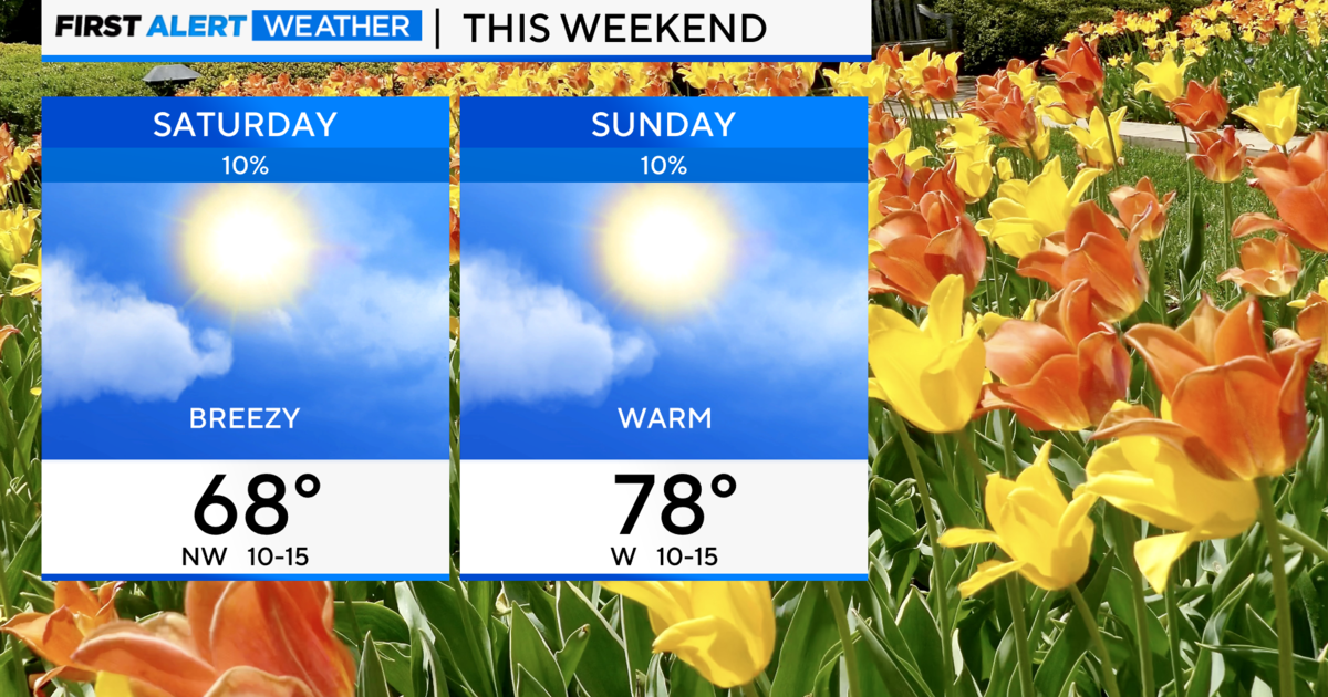
Rain also was likely throughout the day on Friday, before temperatures drop to more fall-like numbers for the weekend.