Chicago Weather: Warm Temperatures Continue Next Few Days Before Cold Front Arrives Christmas Eve
CHICAGO (CBS) – A mild trend for the Chicago area continues through next week, before a dramatic drop in temperatures by Christmas Eve.
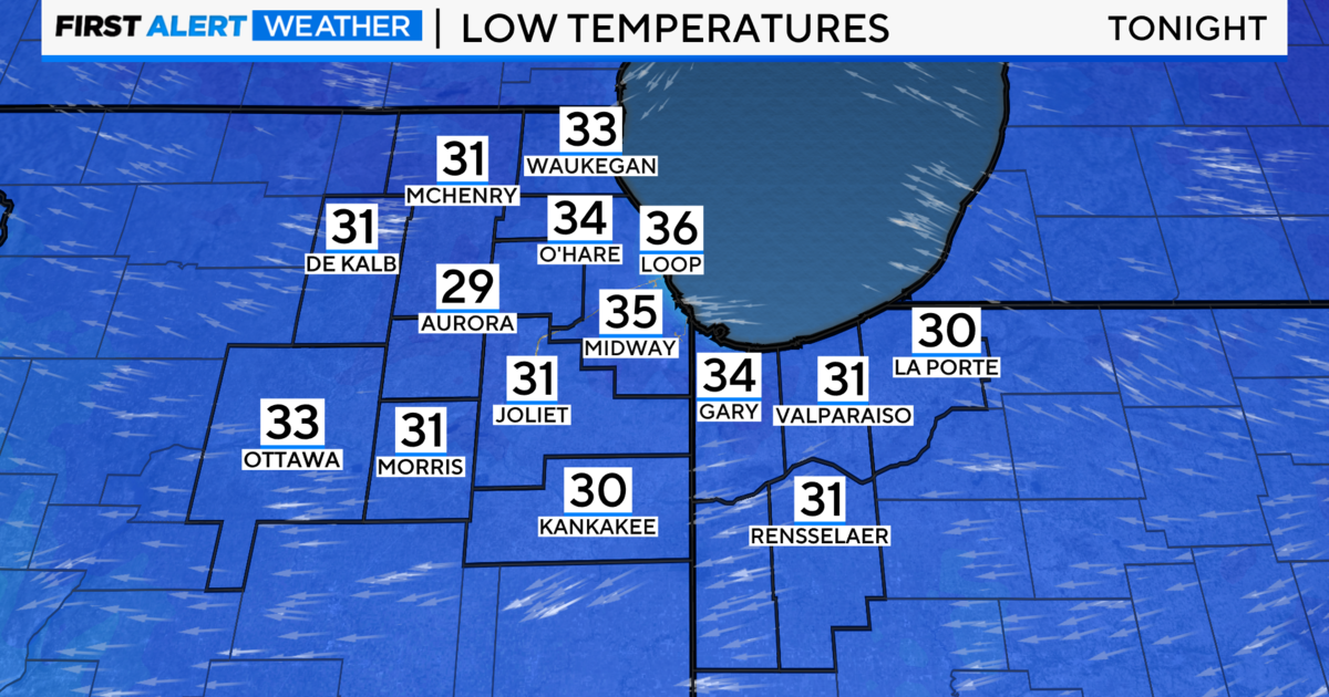
After reaching the mid 40s this afternoon, it will be cloudy tonight, with a slight chance for some sprinkles or a few flurries, and lows near 30°.
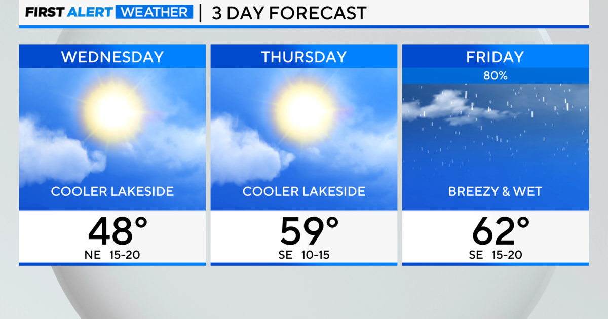
Temperatures will be 6° to 7° above average on Sunday, with a high of around 40°.
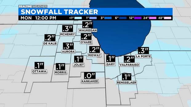
We could also get a dusting to a few tenths of an inch of snow late Sunday night into early Monday, though whatever does fall won't stick around long, with highs at or above 40° next few days.
We'll be warming up through Wednesday, when the high is expected to be in the upper 40s, before a strong cold front comes through, sending temperatures plunging heading into Christmas Eve, bringing the coldest temperatures of the season so far.
Temperatures could fall into the teens by early Christmas Eve, and even reach the single digits early on Christmas Day, with wind chills possibly dipping below zero by early Christmas moring.
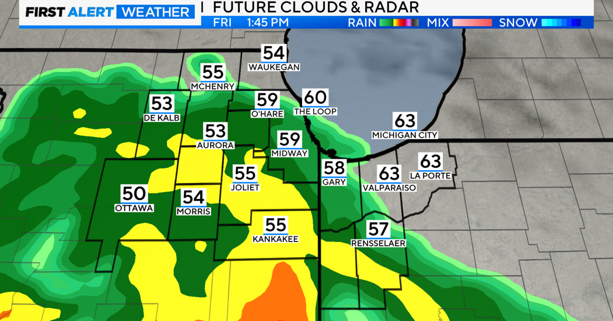
Wednesday night also brings another chance for light snow into early Christmas Eve.
Also From CBS Chicago:
- 'You Have the Wrong Place:' Body Camera Video Shows Moments Police Handcuff Innocent, Naked Woman During Wrong Raid
- 3 High-Ranking Fire Department Officials Ask For Demotion, Including One Who Sources Say Was Twice Denied Boarding On A Plane Because He Was Drunk
- Families Say Their Holiday Packages Are Lost In Limbo And USPS Told Them They Can't Help Now