Chicago First Alert Weather: Lake Effect Snow To Impact Your Commute
CHICAGO (CBS) -- "Don't like Chicago weather, just wait a day and it will change"
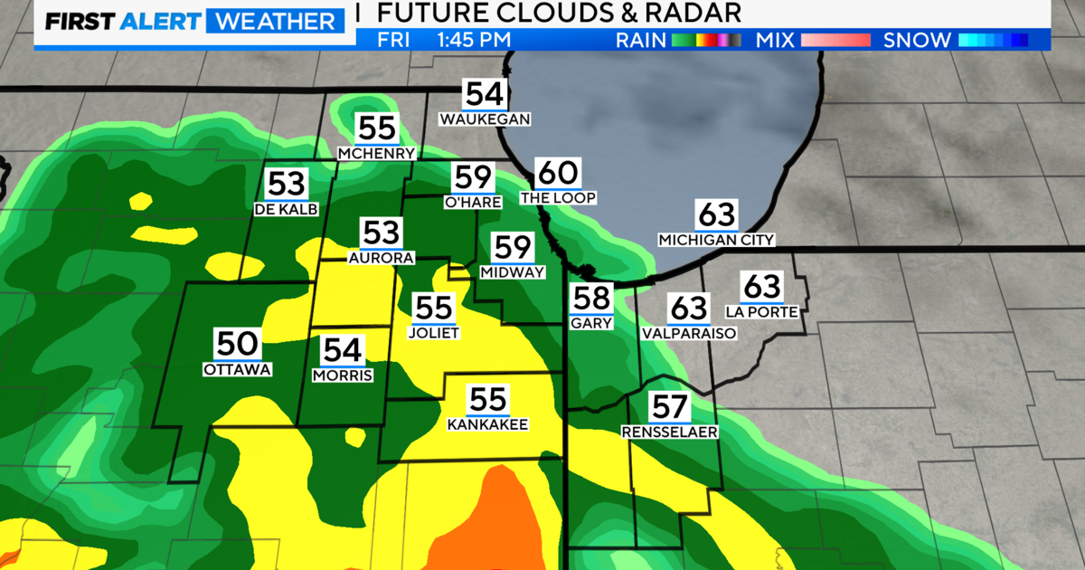
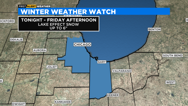
The weather will be changing again late tonight through midday Friday. That's the time frame for a narrow band of lake effect snow to set up over parts of southern Cook and eastern Will Counties in Illinois along with Lake and Porter Counties in northwest Indiana.
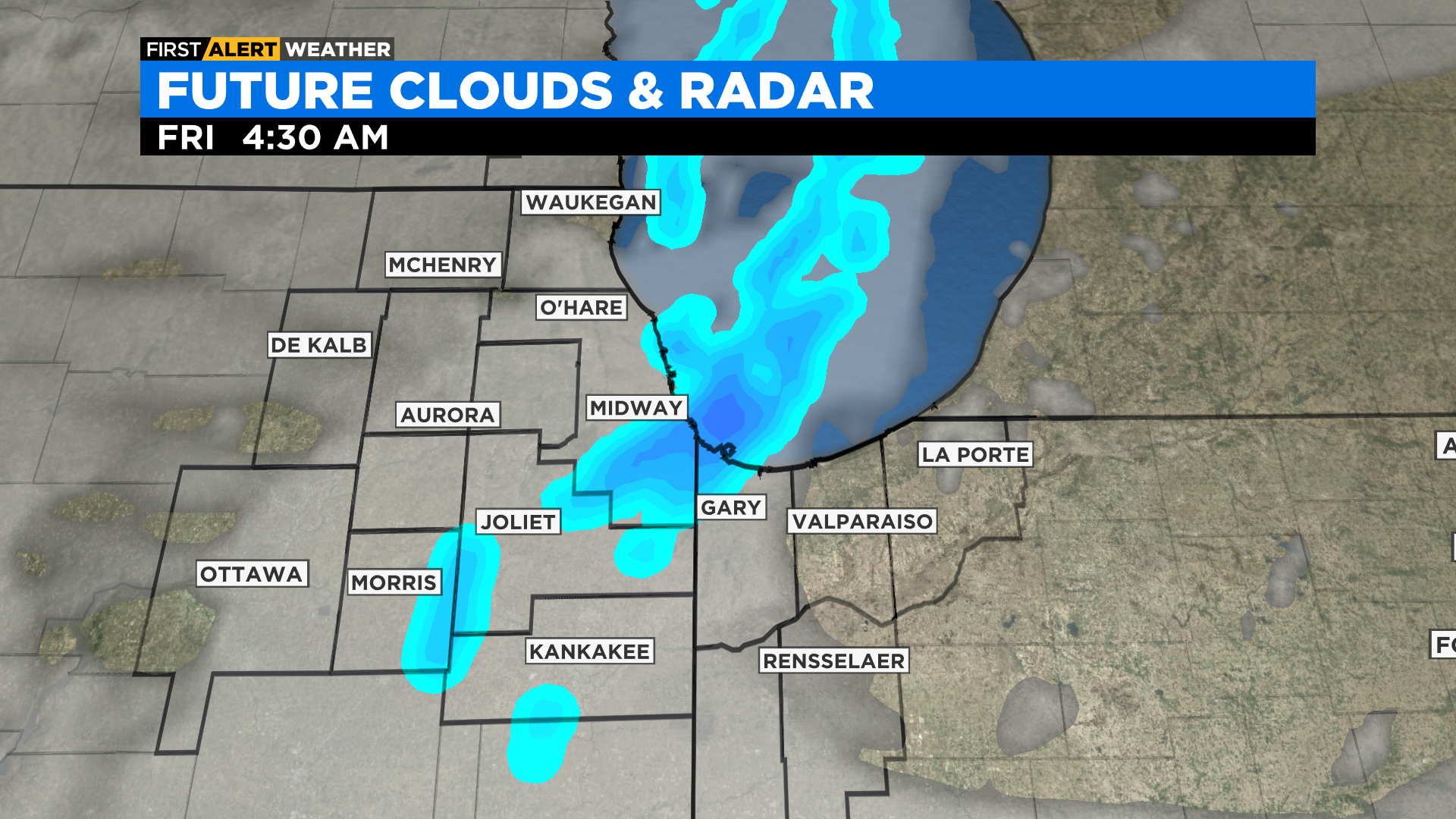
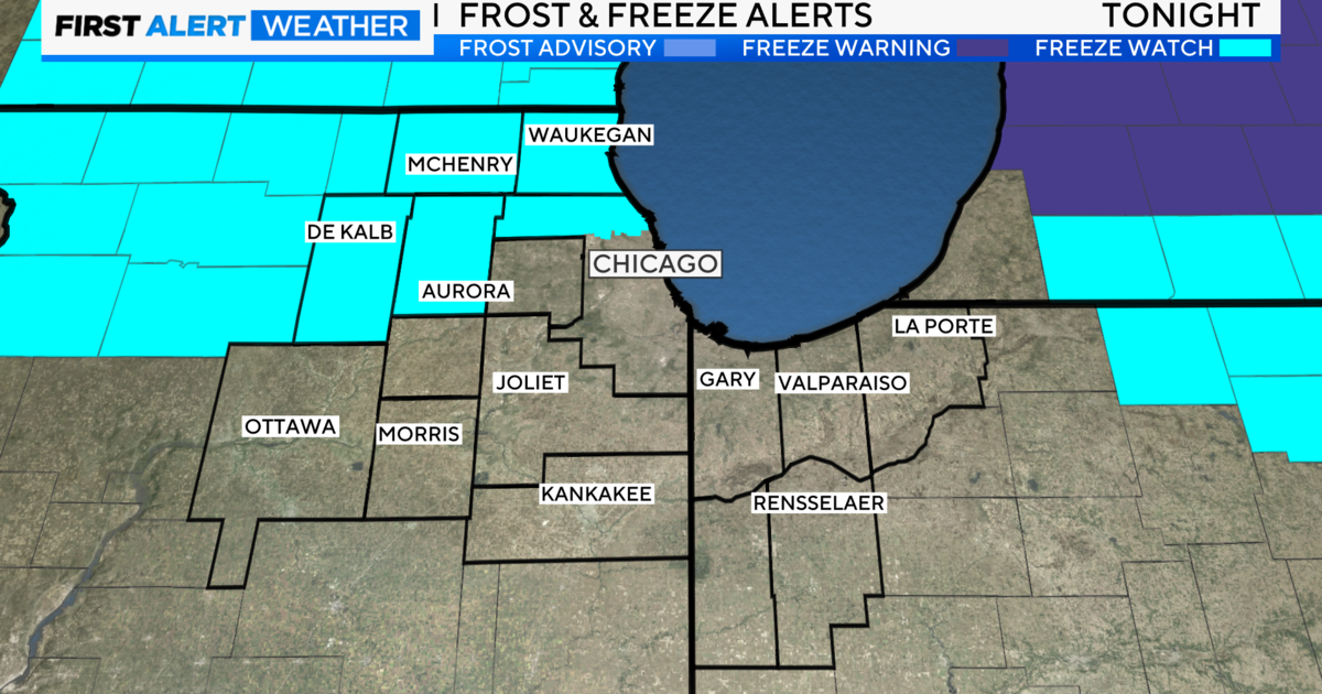
A Winter Storm Watch has been issued for Southern Cook County and Lake County Indiana for late tonight through Friday morning where up to 6 inches of snow could fall. The snow band will wobble back and forth across the Illinois and Indiana state line. Several inches of snow are possible from the Chicago Loop and south along the lakefront into southern Cook County and eastern Will County. The heaviest snow is expected along the state line and into Lake County in Indiana. The remainder of the area will see partly sunny skies with isolated flurries inland.
The morning commute between Indiana and Illinois may be impacted by brief bursts of heavy snow, low visibility and short stretches of snow packed and slippery interstates and side roads. Interstates and expressways near the expected snow include parts of I-80/94, 90. 65, southern Tri-Sate, Bishop Ford and southern DuSable and Lakeshore Drive.
Lake effect snow bands can form without a storm. They develop when very cold air travels southward over the warmer waters of Lake Michigan. Extreme lake effect bands can dump several feet of snow in a narrow 10-mile-wide swath that can stretch up to 100 miles inland.
Follow the CBS2 First Alert Weather team and download the CBS Chicago app for the latest on this potential Lake Effect snow.